

*Always check weather, avalanche, and trail conditions before you head out. And don’t forget to check out our list of 10 essential items you should take with you on your excursion. If you don’t already have them around the house, stop by your local Bartell’s to round out the list.
Easy:
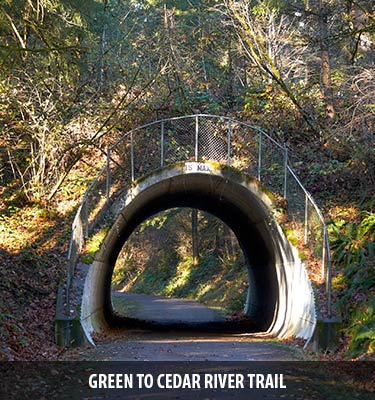
Green to Cedar River Trail
Distance: 5.5 mi
Elevation: 50 ft
For something a little closer to home, walk along this paved suburban trail through Maple Valley.
https://www.wta.org/go-hiking/hikes/green-to-cedar-river-trail
Lake Quinault Trails
Distance: 4.25 mi
Elevation: 350 ft
Head out to the peninsula for a gorgeous stroll through the woods and pass by Cascade Falls. The trail pops out by Lake Quinault and follows along to Quinault Lodge – a great stop for lunch or dinner!
https://www.wta.org/go-hiking/hikes/quinault-national-recreation-trails
Wellington Ghost Town
Distance: 2 mi
Elevation: 20 ft
Walk through history along a flat trail that leads into old snowsheds built to protect the Great Northern Railroad from avalanches. Read the panels about the tragedy that occurred one fateful night in March of 1910.
https://www.wta.org/go-outside/seasonal-hikes/go-hiking/hikes/wellington-ghost-town
Moderate:
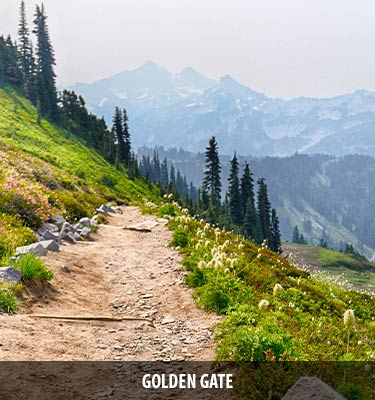
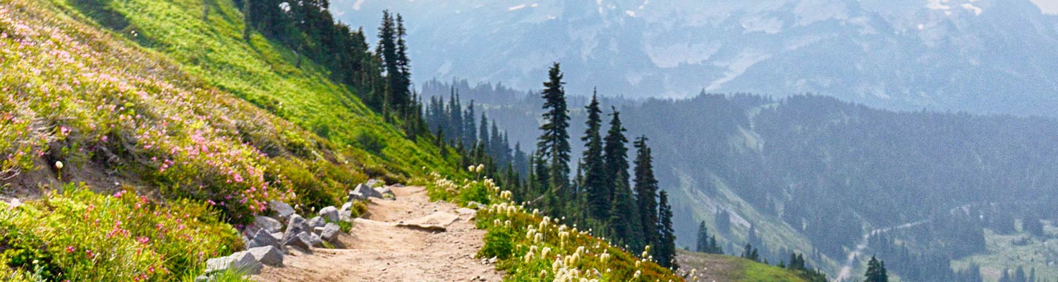
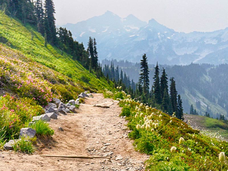
Golden Gate
Distance: 3.2 mi
Elevation: 1000 ft
One of the trails from Mount Rainier’s south side at Paradise, this trail will quickly climb for impressive 360 views of Rainier and the Tatoosh Range.
https://www.wta.org/go-outside/seasonal-hikes/go-hiking/hikes/golden-gate
Iron Goat Trail
Distance: 6 mi
Elevation: 700 ft
Another trail following the history of the Great Northern Railroad, this hike takes you alongside several old rail tunnels. Do not cross barriers into the tunnels, as they are no longer stable.
https://www.wta.org/go-outside/go-hiking/hikes/iron-goat-trail/
Lake Valhalla
Distance: 7 mi
Elevation: 1500 ft
Head up to Steven’s Pass for a burst of fall color on this moderate hike that crosses the PCT up to an alpine lake.
https://www.wta.org/go-hiking/hikes/lake-valhalla
Glacier Basin
Distance: 6.5 mi
Elevation: 1600 ft
Head toward Sunrise at Mount Rainier for this alternative hike into a snow-capped basin with the top of Rainier peeking from the background.
https://www.wta.org/go-outside/seasonal-hikes/fall-destinations/go-hiking/hikes/glacier-basin
Advanced:
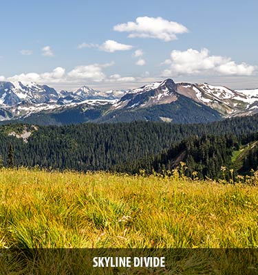
Skyline Divide
Distance: 9 mi
Elevation: 2500 ft
Take in panoramic views of Mount Shuksan, Mount Kulshan, and the High Divide on this gorgeous trail near Mount Baker.
https://www.wta.org/go-hiking/hikes/skyline-divide
Truman Trail
Distance: 10 mi
Elevation: 1425 ft
Take in a different type of mountain scenery on this trail at Mount St Helens that wanders through the northern parts of the eruption site.
https://www.wta.org/go-hiking/hikes/truman-trail-pumice-plain
Colonel Bob Peak
Distance: 8.2 mi
Elevation: 3500 ft
Most of this trail is through forest, but once you pop out on top of Colonel Bob Peak, the views of the Quinault River Valley are well worth the climb.
https://www.wta.org/go-hiking/hikes/colonel-bob